Advanced Data Collection & Analysis for Energy Companies
The #1 Choice for Oil & Gas Companies
Survey-Grade Geospatial Products
We generate high-accuracy, survey-grade maps, including orthomosaic maps, digital terrain models (DTMs), and 3D elevation models, to support pipeline routing, site development, environmental monitoring, and compliance assessments.

Orthomosaic
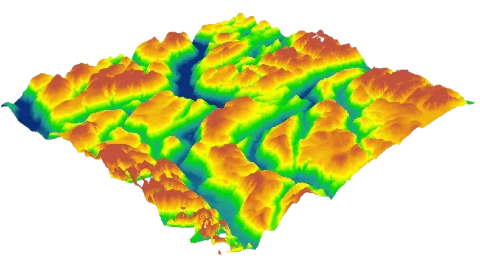
Digital Terrain Model (DTM)
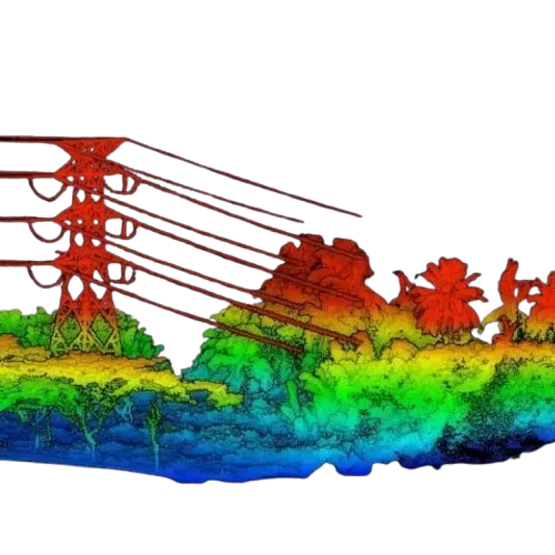
LiDar Imaging
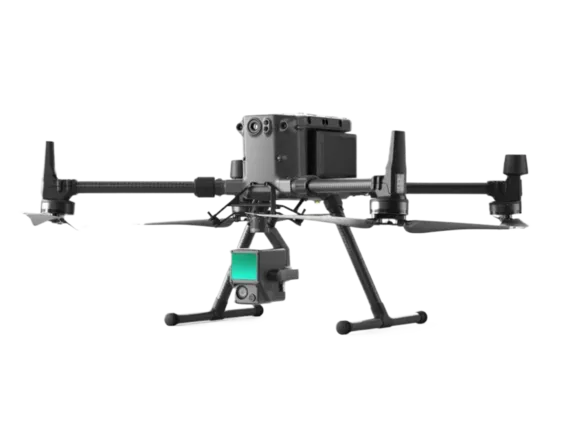
State-of-the-Art Technology
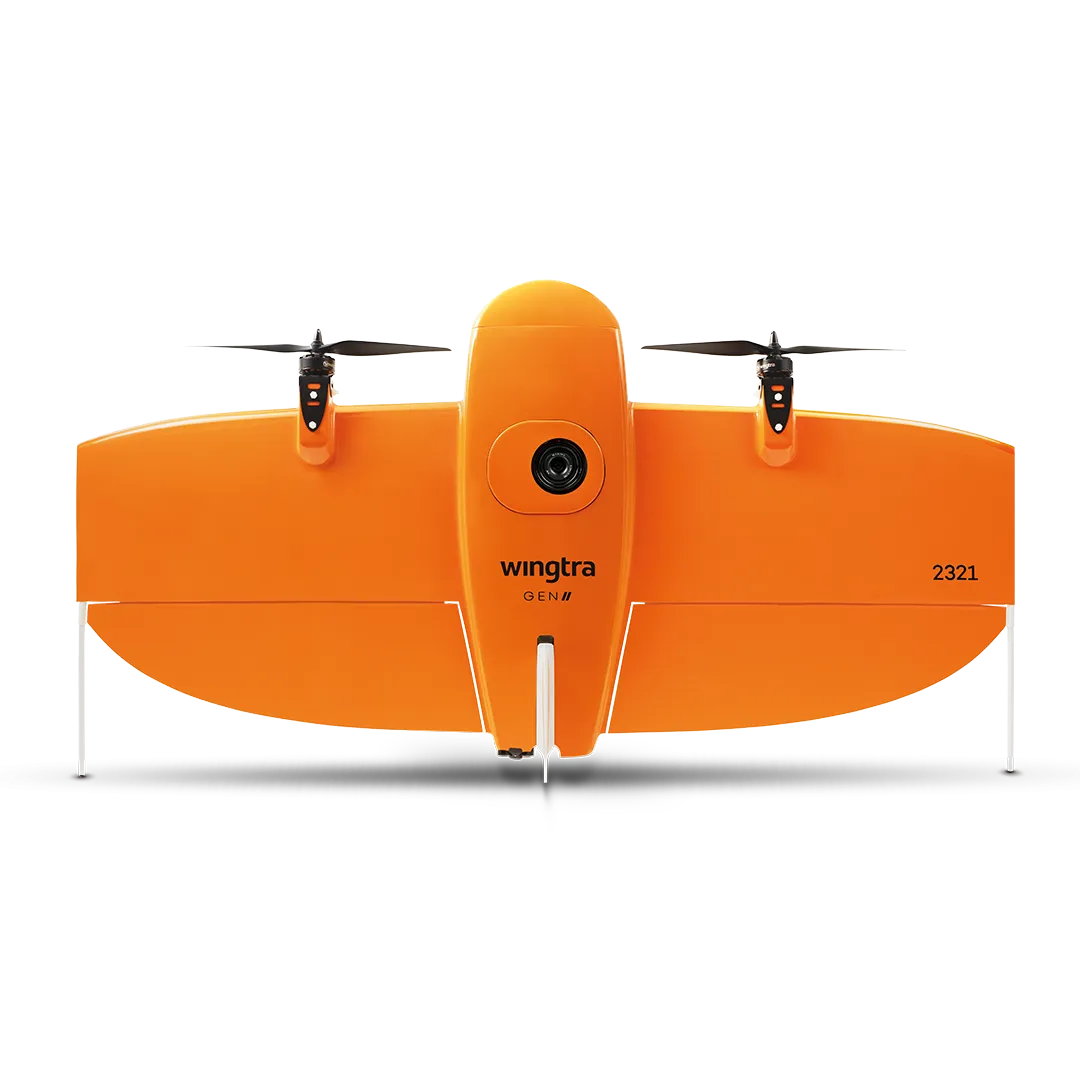
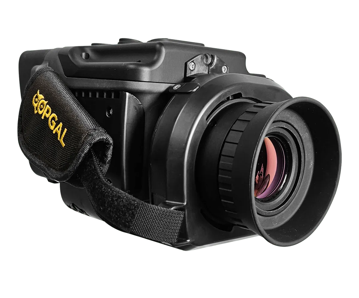
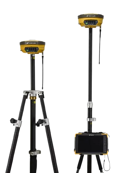
We utilize a fleet of industry-leading drones, hand-held, & survey equipped with advanced sensors and imaging technology, to capture high-resolution imagery, LiDAR data, thermal scans, and gas detection readings. This ensures maximum accuracy and efficiency, even in the most challenging environments.

Our Expertise

Pipeline Planning & Monitoring

Site Planning & Development

Infrastructure Management

Gas Leak Detection

Environmental Compliance

Safety & Risk Assessment
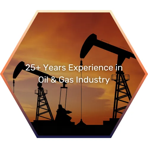
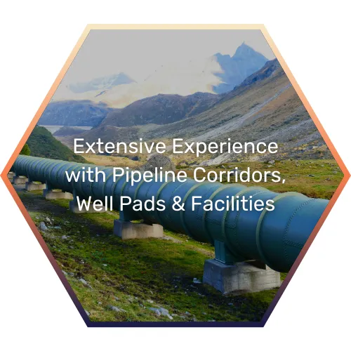
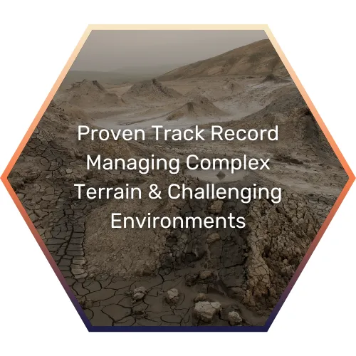
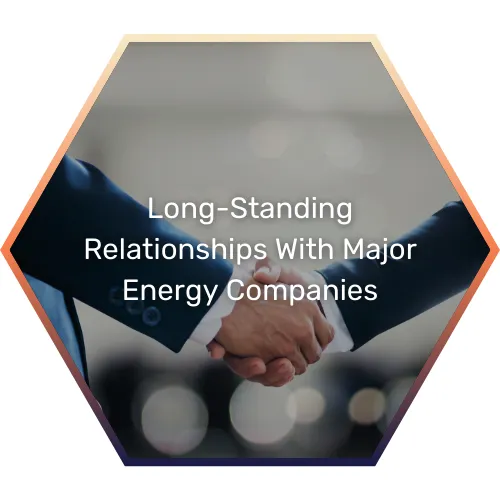
Industry Experience

Professional Certifications

Lean-Six Sigma
Black Belt

Part 107 Certified
Drone Pilots

Professional Land Surveyor
(PLS)

OSHA
Safety Trained
© 2025 RidgeIQ. All rights reserved.