
Pipeline Planning & Monitoring
Pipeline networks require meticulous planning during development and continuous monitoring throughout their operational lifecycle. Traditional pipeline survey and monitoring methods are labor-intensive, expensive, and often limited by terrain accessibility. Our drone-based solutions provide comprehensive pipeline planning and monitoring capabilities that enhance safety, regulatory compliance, and operational reliability.
Solutions for Pipeline Planning & Monitoring
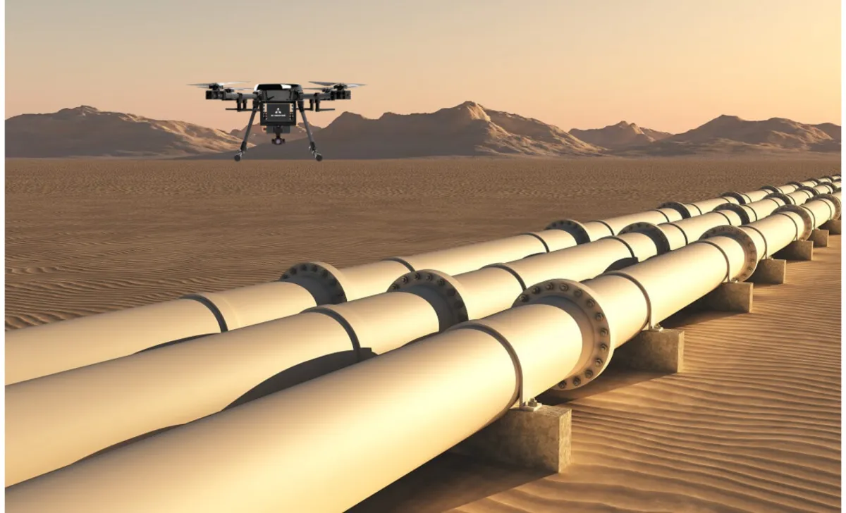
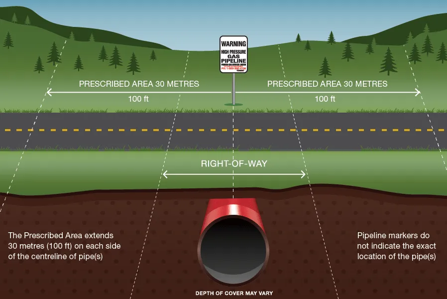
Right-of-Way Mapping and Planning
Our advanced aerial mapping streamlines pipeline planning and right-of-way management.
Corridor Optimization
We capture detailed terrain data to identify optimal pipeline routes that minimize environmental impact and construction costs
Comprehensive Geographical Analysis
Our surveys document land features, existing infrastructure, and potential hazards across the entire pipeline corridor
Stakeholder Documentation
High-quality visual documentation supports landowner negotiations and regulatory submissions
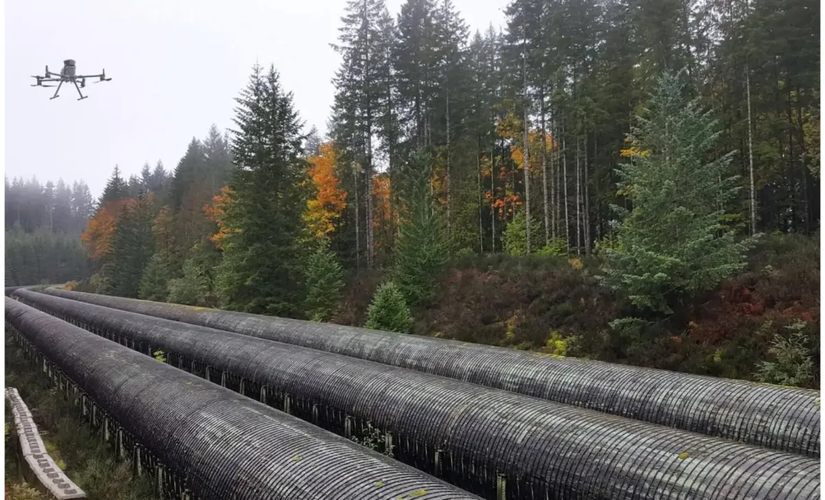
Pipeline Integrity Monitoring
Our specialized monitoring solutions provide consistent oversight of operational pipelines.
Right-of-Way Encroachment Detection
We identify unauthorized activities, vegetation encroachment, and third-party construction near pipeline corridors
Erosion and Ground Movement Monitoring
Precision surveys detect subtle terrain changes that could threaten pipeline integrity
Water Crossing Assessment
Regular monitoring of riverbed erosion, bank stability, and flood impacts at critical water crossingsime, providing defensible evidence of compliance activities
How Our Solutions Work
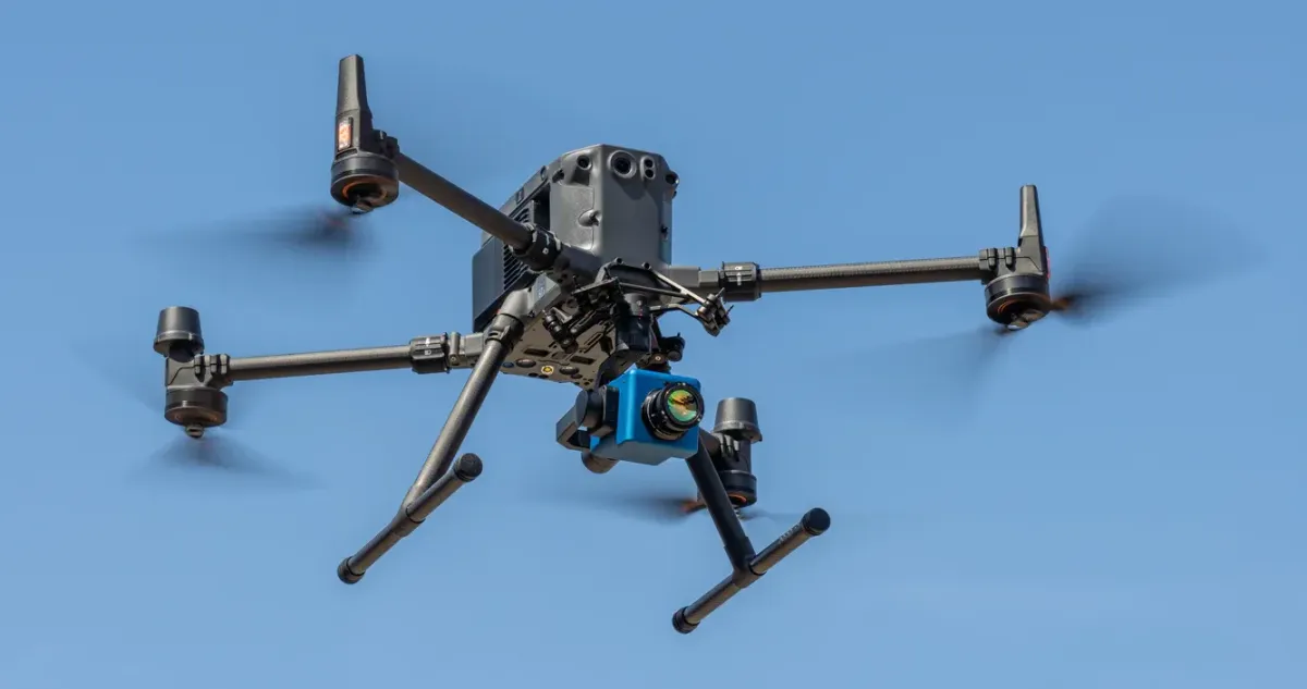
Advanced Detection Technology

Corridor Mapping Systems
Specialized long-range drones capable of efficiently surveying extensive pipeline corridors with minimal ground support
Multi-Sensor Payloads
Integrated visual, thermal, and specialized sensors capture comprehensive data in a single flight mission

Change Detection Software
Advanced algorithms compare sequential surveys to automatically identify and flag changes requiring attention

Secure Data Transmission
Encrypted communication systems ensure sensitive pipeline location and condition data remains protected
Action-Oriented Deliverables

Pipeline Corridor Digital Twins
Complete digital representation of pipeline routes with integrated terrain models and infrastructure components
Encroachment Alert Reports
Formatted reports demonstrating adherence to PHMSA, DOT, and state requirements for pipeline monitoring
CAD-Ready Exports
Survey data formatted for direct import into AutoCAD, Civil 3D, and other common design platforms
Why Work With Us

25+ Years Experience
in Energy Sector

Part 107 Certified
Drone Pilots

Professional Land Surveyor
(PLS)

OSHA
Safety Trained
How It Works
After you contact our team we will go over all details with you and determine when & where the project will take place. We will also determine what data will be collected & what reports will be sent to you prior to the project.
Our Goal
RidgeIQ aims to offer cost-effective solutions without sacrificing precision or data accuracy. Our expert pilots have been flying UAVs for 10+ years & have all of the field-experience to complete any project you might take on.
© 2025 RidgeIQ. All rights reserved.